Now, you can get simplified access to all the tools you need to sucess- now and in he future.
Autodesk AEC TOOLSENHANCE TEAM collaboration WITH POWERFUL COLLECTION
DISCOVER THEArchitecture, Engineering & Construction Collection
With Technologies the provide end to end capabilities for design, engineering and construction, and powerful BIM and CAD workflows, the AEC Collection helps you work more effectively.
And as a subscriber to the collection, you’ll always be up to date, with the latest software releases for Revit®, AutoCAD®, Civil 3D®, InfraWorks® and other favorites such as AutoCAD® and and 3ds Max®.
TOP AEC PRODUCTS
Built for Building Information Modelling
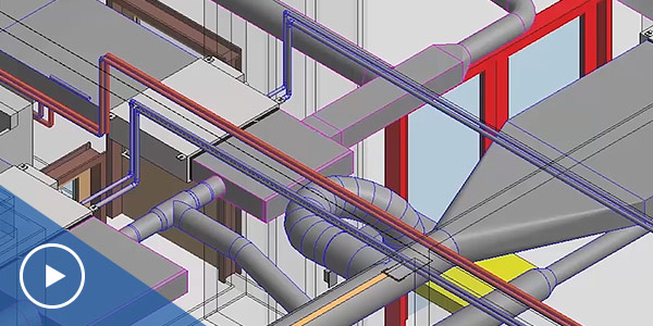
Revit® BIM software includes features for architectural design, MEP and structural engineering and construction. Revit supports a multi-discipline, collaborative design process.
REVIT FEATURES
Why Revit?
Design
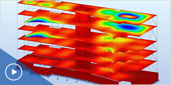
Model building components, analyse and simulate systems and structures, and iterate designs. Generate documentation from Revit models.
Interoperability
Work with members of an extended project team. Revit imports, exports and links your data with commonly used formats, including IFC, DWG™ and DGN.
Collaborate
Multiple project contributors can access centrally shared models. This results in better co-ordination, which helps reduce clashes and re-work.
Visualize
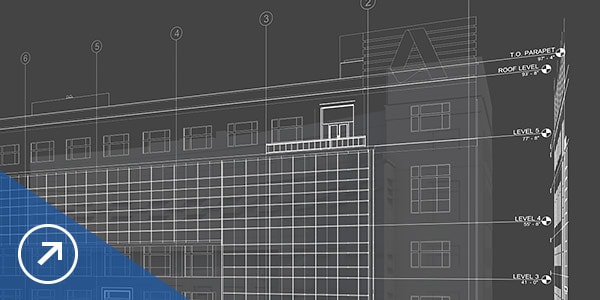
Communicate design intent more effectively to project owners and team members by using models to create high-impact 3D visuals.
See how people are using Revit
-
RENZO PIANO BUILDING WORKSHOP
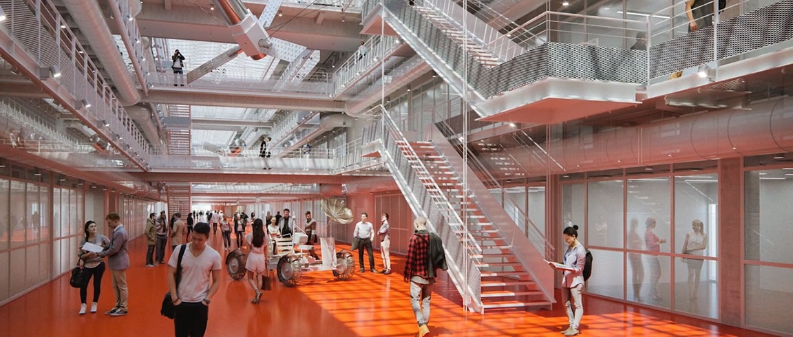
Revit enables design and construction in BIM
This international architecture firm implemented BIM with all partners involved in the design and construction of the Cachan Ecole Normale Supérieure.
Watch Video
-
GENSLER

Design disciplines work together in BIM
The Shanghai Tower showcases the use of BIM solutions to enable design, construction, and facility management. Revit provided design partners a common platform.
Read Story
-
SHOP ARCHITECTS
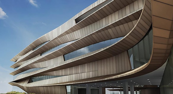
BIM unites international project team
The Botswana Innovation Hub, a 350,000-square-foot office and research center, was designed primarily with Revit, which helped the design team explore ideas.
Read Story
See how products in the collection work together

CAD SOFTWARE FOR ANYONE, ANYWHERE, ANYTIME
Now when you subscribe to AutoCAD®, get access to AutoCAD 2D and 3D CAD software, plus industry-specific toolsets. Take advantage of new AutoCAD web and mobile apps, enabling workflows from anywhere.
AUTOCAD FEATURES
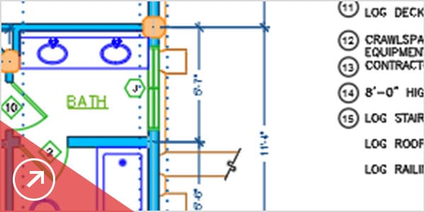
Extensive 2D documentation
Produce 2D documentation and drawings with a wide set of drawing, editing and annotation tools.
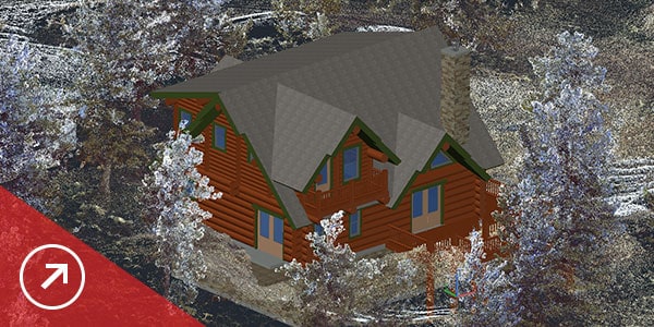
Innovative 3D design
Create and communicate almost any design with 3D modelling and visualisation tools.
Personalised experience
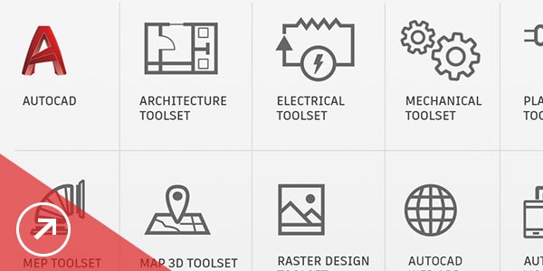
Use specialised toolsets and customise AutoCAD with extensions from the Autodesk App Store.
Connected collaboration
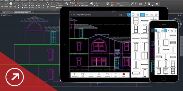
Access your drawings from desktop, web and mobile. Share and use data from Navisworks, Bing Maps and more.
What's New
DWG compare
Easily identify and document graphical differences between 2 versions of a drawing or xref.
2D graphics enhancements
Enjoy 2X faster zoom, pan and change draw orders and layer properties.
Save to web and mobile
Save drawings from your desktop. View and edit them on the AutoCAD web and mobile apps.
PDF import enhancements
Import geometry, SHX font files, fills, raster images and TrueType text into a drawing from a PDF.
See How People Are Using AutoCAD
-
BENJAMIN PRATT
 Image courtesy of Sioux City Arts Center
From CAD to pop art
Artist and drafter Benjamin Pratt creates original, hand-painted pop art. He begins his paintings in AutoCAD, and then transfers them by hand onto a canvas.
Read Story
-
RED LAYER GUITARS
 Image courtesy of Red Layer Guitars
A passion for guitars
After working by hand for years, Jort Heijen, founder of Red Layer Guitars, now builds high-end, custom-made guitars that he designs in AutoCAD.
Read Story
-
DAVID ROMERO
 Image courtesy of David Romero
Digital reconstruction
Architect David Romero creates AutoCAD renderings that bring demolished Frank Lloyd Wright buildings back to life.
Read Story
DESIGN BETTER CIVIL INFRASTRUCTURE
Civil 3D® software supports BIM (Building Information Modelling) for enhanced civil engineering design and construction documentation.
AUTOCAD FEATURES
Civil design
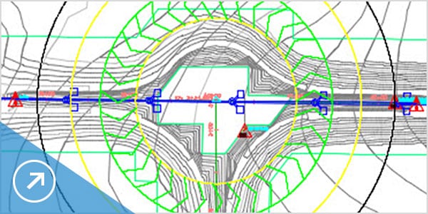
Perform faster design iterations and streamline time-consuming tasks.
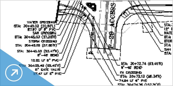
Drafting and documentation
Connect design to documentation to help boost productivity and deliver higher quality.
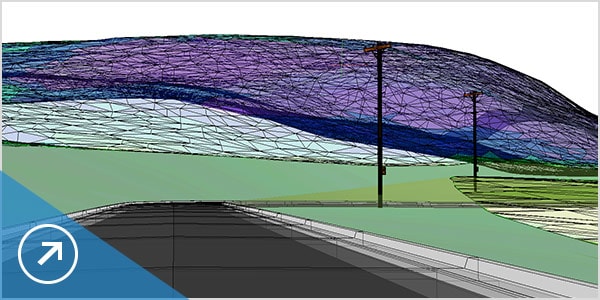
Visualisation and analysis
Use visualisation, simulation and water analysis tools integrated with the design process to improve project delivery and decision making.

Collaboration
Collaboration features help you to overcome team co-ordination and workflow challenges within civil infrastructure projects.
What's New
Profiles
Offset profiles are more accurate with support for vertical curves.
Subassemblies
Expanded corridor abilities with more than 60 additional subassemblies.
Sections
Represent 3D solid objects more accurately with more control over visual properties.
Pressure pipes
Meet more design standards with additional fittings and ancillaries.
See Civil 3D in action
-
SCODI
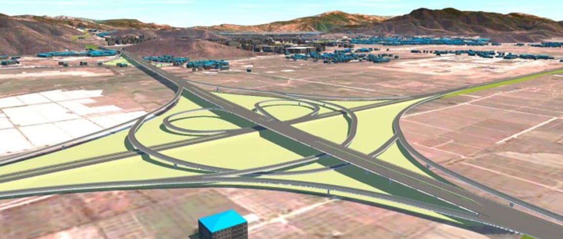
Visualization improves design proposals
Chinese engineering firm used Autodesk software, including Civil 3D, to communicate the design for a 69-km highway to government officials.
Read Story
-
NEW MEXICO DOT
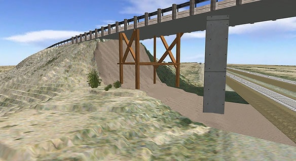
Productivity and quality boosts
Civil 3D helps the New Mexico Department of Transportation increase efficiency by minimizing error-ridden manual drawing updates.
Read Story
-
HYACINT
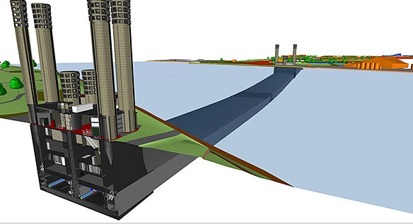
Renovating an aging tunnel with BIM
Dutch contractor used Civil 3D while working on the Velsertunnel, a railway and motorway tunnel beneath the Netherlands' North Sea Canal.
Read Story
INFRASTRUCTURE DESIGN REIMAGINED
InfraWorks® software supports connected BIM (Building Information Modeling) processes, enabling designers and civil engineers to plan and design infrastructure projects in the context of the real world.
INFRAWORKS FEATURES
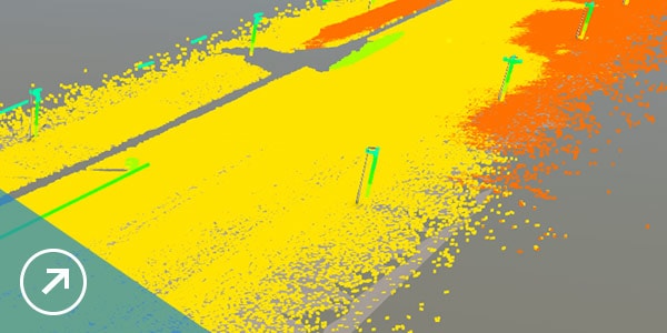
Model
Use large amounts of data to establish a model of your project's existing environment. Incorporate survey-grade data to enhance accuracy.
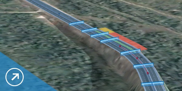
Design
Create roads, bridges, drainage, and more. Use tools that are fast, visual, and incorporate engineering principles.
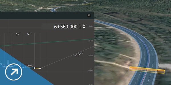
Analyze
Make better decisions throughout the project with tools for sight distance, flood simulation, dynamic site analysis, and more.
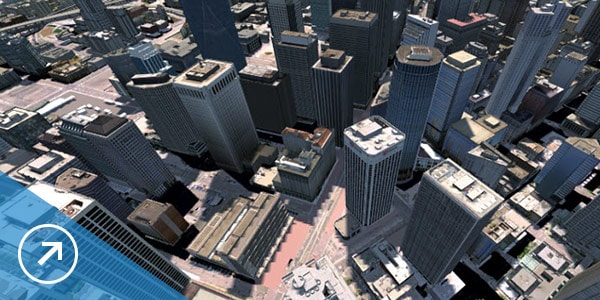
Visualize
Visualize your design, share cloud-based models with project stakeholders for real-time feedback, and transform designs into compelling presentations.
What's New
Road layout
Choose between element-based or PI-based layout for more flexibility in how you design roads.
Point clouds
Use photos to assist you when modeling features based on point cloud data.
Bridge design
Access the specific parameters of custom bridge parts from within an InfraWorks model.
Quantities
Calculate underground infrastructure quantities by depth.
See Civil 3D in action
-
RAMBØLL SWECO
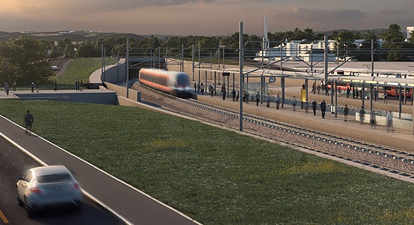
Building rail with BIM
Norwegian firm overcame terrain challenges and won approval from more than 100 stakeholders for a 75-km double track project between Sørli and Brumunddal.
Read Story
-
COWI
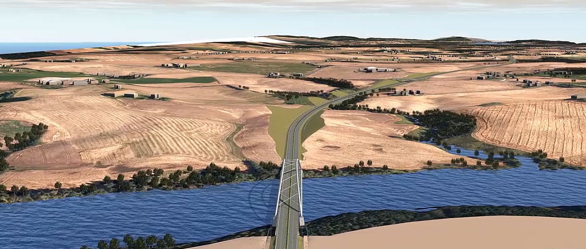
Designing with real-world roadway models
Danish engineering firm uses InfraWorks to create 3D models that include existing geographical conditions—and wins the E16 Scandinavian highway project.
Watch Video
-
CARDNO
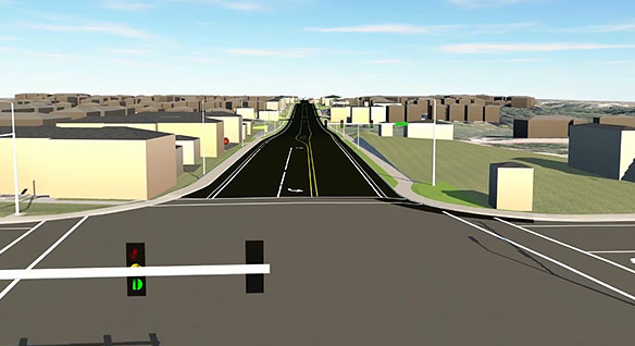
Using 3D modeling for public outreach
Australian infrastructure and environmental services company used visualizations to let stakeholders dynamically explore proposed designs for a road project.
Watch Video
See how InfraWorks works with other Autodesk software
ALSO INCLUDESANALYSIS, RENDERING, REALITY CAPTURE & OTHER

navisworks manage
Project review software with 5D analysis and design simulation

3Ds max
3D modelling, animation and rendering software for games and design visualisation

recap pro
Reality capture and 3D-scanning software and services

advanced steel
Turn Revit models into an immersive experience in one click

fabrication cadmep
Structural bridge analysis software

insight
Programming environment that lets designers create visual logic to design workflows and automate tasks

revit live
Intuitive 3D sketching app with native Revit interoperability

structural bridge design
Advanced BIM-integrated structural analysis and code compliance verification tool

dynamo studio
Vehicle swept path analysis software

formit pro
Intuitive 3D sketching app with native Revit interoperability

vehicle tracking
Advanced BIM-integrated structural analysis and code compliance verification tool


