InfraWorks® software supports connected BIM (Building Information Modeling) processes, enabling designers and civil engineers to plan and design infrastructure projects in the context of the real world.
INFRAWORKS FEATURES
Model
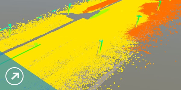
Use large amounts of data to establish a model of your project's existing environment. Incorporate survey-grade data to enhance accuracy.
Design
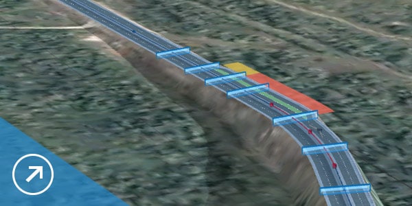
Create roads, bridges, drainage, and more. Use tools that are fast, visual, and incorporate engineering principles.
Analyze
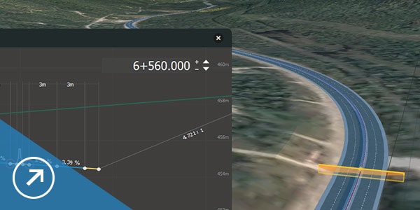
Make better decisions throughout the project with tools for sight distance, flood simulation, dynamic site analysis, and more.
Visualize
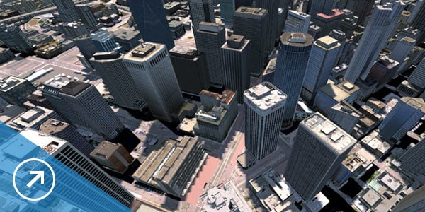
Visualize your design, share cloud-based models with project stakeholders for real-time feedback, and transform designs into compelling presentations.
What's New
Road layout
Choose between element-based or PI-based layout for more flexibility in how you design roads.
Point clouds
Use photos to assist you when modeling features based on point cloud data.
Bridge design
Access the specific parameters of custom bridge parts from within an InfraWorks model.
Quantities
Calculate underground infrastructure quantities by depth.
See Civil 3D in action
-
RAMBØLL SWECO
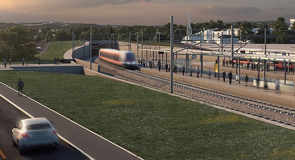
Building rail with BIM
Norwegian firm overcame terrain challenges and won approval from more than 100 stakeholders for a 75-km double track project between Sørli and Brumunddal.
Read Story
-
COWI
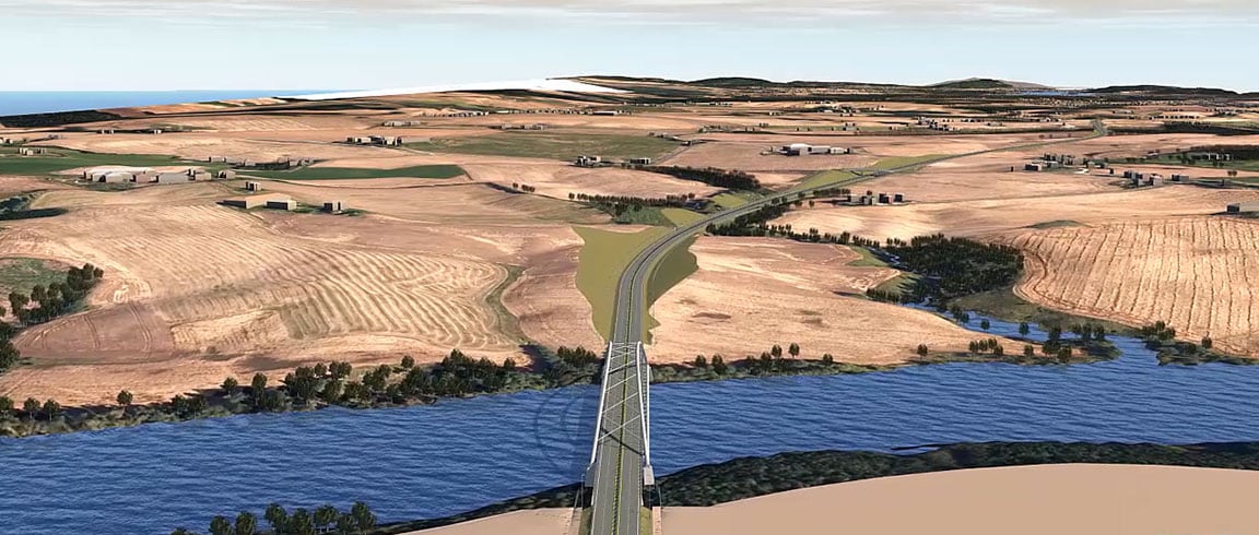
Designing with real-world roadway models
Danish engineering firm uses InfraWorks to create 3D models that include existing geographical conditions—and wins the E16 Scandinavian highway project.
Watch Video
-
CARDNO
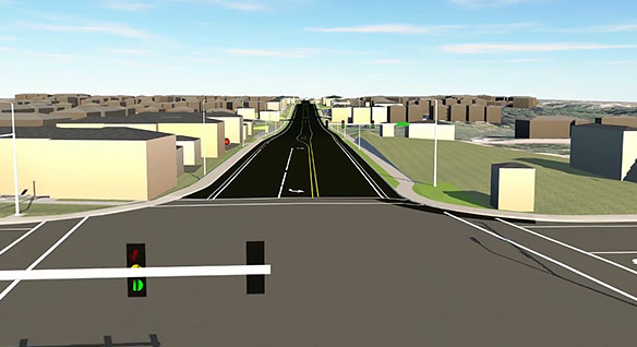
Using 3D modeling for public outreach
Australian infrastructure and environmental services company used visualizations to let stakeholders dynamically explore proposed designs for a road project.
Watch Video

